



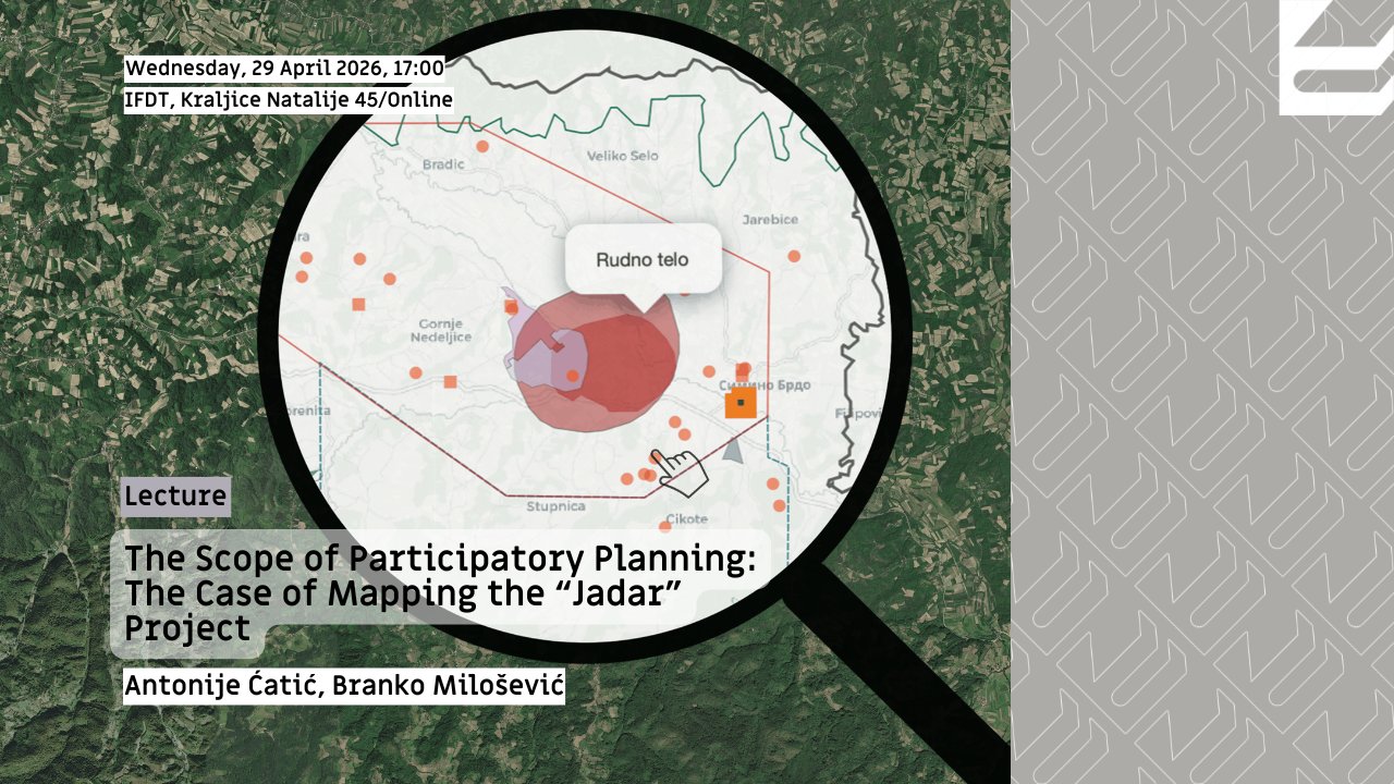
[Lecture] The Scope of Participatory Planning: The Case of Mapping the “Jadar” Project (Environmental Studies, PerspectLab)
Timely access to clear, high-quality information is essential for meaningful public participation in urban planning decision-making. The lecture questions existing practices in Serbia where planning documents are more often then not difficult to access and incomprehensible to the public. The focus of the lecture is a project presented at the 48th Salon of Architecture in Belgrade – interactive integrated map of the Spatial Plan for the Special Purpose Area of the “Jadar” project. Designed as a response to the identified crisis of transparency and participation in spatial and urban planning processes by Antonije Ćatić, Branko Milošević, and Bojana Novaković, this tool enables a more accessible, and spatially legible communication of key aspects of planned development of this area to citizens. By using GIS technology, the map allows users to remotely explore different layers of information, examine the relationships between spatial decisions, and form informed opinions about planning practices. The project is positioned at the intersection of spatial and urban planning, contemporary technologies, and public policy, highlighting the potential of new tools to expand both the scope and accessibility of participation. The lecture will include a live demonstration of the tool, giving the audience a clearer sense of how it works in practice. It will also raise questions about the limits of participatory planning in contexts shaped by large-scale infrastructure and investor-led projects, as well as about how planners and other experts can contribute to more transparent planning processes.
This lecture is organized by Environmental Studies Research Group IFDT and PerspectLab: Laboratory for Theory, Creation, and Politics of Space.
Antonije Ćatić is a spatial and urban planner with experience in the civil sector in the areas of civic participation in planning, participatory governance, and participatory Geographic Information Systems (GIS). He is a 3rd-year PhD candidate at the University College Dublin, School of Architecture, Planning and Environmental Policy in Ireland, where he is engaged as a researcher on the EU H2020 NBSINFRA project which focuses on protecting critical urban infrastructure through nature-based solutions in order to enhance climate resilience. His research explores how digital technologies can be combined with deliberative models of citizen participation.
Branko Milošević is a spatial planner and GIS analyst. He is a Research Assistant at the Institute for Philosophy and Social Theory and a Ph.D. candidate in the Geosciences Program at the Faculty of Geography, University of Belgrade. His research interests lie within the field of sustainable urban planning, with a particular emphasis on strategies for mitigating the effects of urban sprawl. His work focuses on mapping the socioeconomic impacts of contemporary urban planning policies, and application of Geographic Information Systems (GIS) to visualize the complex interdependencies between political processes, spatial development, urban planning, and society.